A recent study, highlighted in various social media posts, has caused alarm among some residents living along the eastern foothills of Mount Etna. Is the Southeast Crater really going to collapse onto us? Is it truly “sliding over unstable ground” toward the east? And what will become of those of us living on the east coast? First of all, there is no need to panic. There will be no colossal landslide, nor any fatal explosion like those seen in American disaster movies. The reality is somewhat more complex—yet, at the same time, simpler—than that. So, there is no cause for fear, either for the local residents or for tourists, who can continue to enjoy the volcano—though … with due caution, of course.
Research examining 160 years of Etna change
The study, published in the International Journal of Applied Earth Observation and Geoinformation and titled “160 Years of Etna summit craters through a photogrammetry-based time machine,” was conducted by the National Institute of Geophysics and Volcanology (INGV) in collaboration with the University of Milano-Bicocca (GeoVires Lab) and the University of Palermo. The work is not a “scoop”—but it serves as an important confirmation, particularly for geologists and volcanologists.
By tracking the evolution of Etna’s summit from the 19th century to the present day, we can gain significant insight. In particular, as Dr. Boris Behncke of the INGV in Catania explains, we can literally read the rapid changes taking place on our volcano. It is an evolution so “wild”, the scientist notes – unlike anything observed at any other volcano in the world – that it further confirms we live in an extraordinary region. However, Dr. Behncke reassures us that we should not imagine the southeast flank suddenly crumbling away in a massive landslide and collapsing upon us. But if the southeast flank isn’t going to come crashing down on our heads, what does it mean that it is “sliding toward the east”?
 The fire “walks”
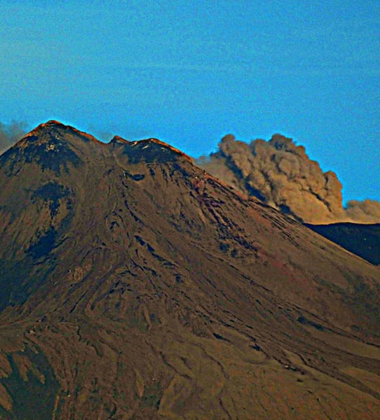 The fire “walks”
What is actually “sliding toward the east” is the fire—the magma, the eruptive center of Mount Etna. The lava is increasingly seeking an outlet toward the east, abandoning (or that’s what it seems) the westward path it appeared to have followed for centuries.
Until 1911, Etna had only one crater—the Central Crater—but two more (Bocca Nuova and Voragine) subsequently formed, effectively consuming it. Later, the Northeast Crater also emerged. Throughout this century-long process, the magma seemed inclined to shift westward, potentially creating new volcanic structures and craters near the towns of Bronte and Adrano.
With the birth of the Southeast Crater in 1971, something changed. Indeed, since the appearance of this crater, a variety of phenomena—such as earthquakes and lateral eruptions—have begun to occur on the eastern flank. In short, the Southeast Crater served as a visible indicator of an underground shift in direction. The fire is “walking” and carving out a path toward the east. This is why the entire eastern flank of Etna is “descending toward the sea”—not in a catastrophic way, but merely by a few millimeters at a time.
What should we be afraid of?
Is there anything that we humans—so fond of this great volcano—should actually fear? No, because this “sliding” motion—and the resulting eastward shift of the magma—unfolds over a biblical timescale; it is, for all intents and purposes, an eternity! And yet, there is something we should indeed fear: our own reluctance to follow the rules.
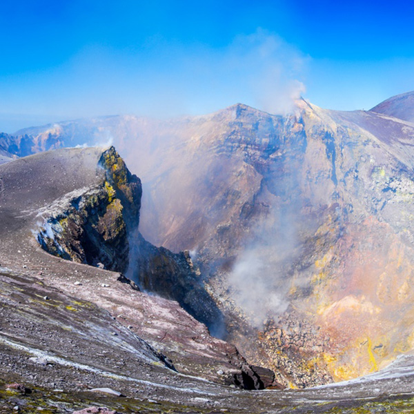
While it is true that the Southeast Crater will not collapse all at once, its slow, creeping movement does trigger both minor and major collapses. In the event of an eruption, these collapses can also lead to pyroclastic flows. Consequently, the area surrounding the crater becomes extremely dangerous for hikers and tourists who venture that high up (as well as for those trekking along the trails in the Valle del Bove). If we disregard the rules, or mock official warnings and prohibitions, we put our own lives at risk. And should something terrible happen, it certainly won’t be the fault of the Southeast Crater!
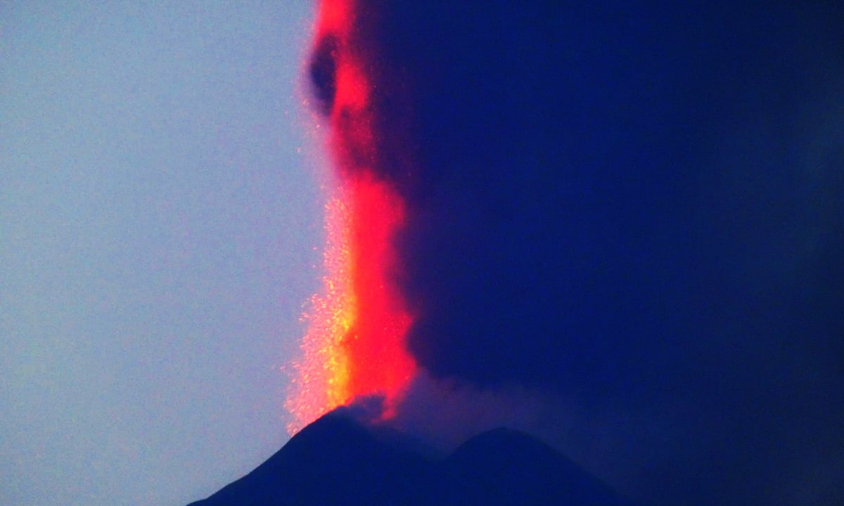
When Mount Etna is erupting—especially during violent episodes, paroxysms, or explosions—adhering to the order to stay away from the Southeast Crater can be a matter of life and death. Under certain conditions, the sheer force of these explosions can accelerate that eastward movement, causing the crater walls to crumble and rocks to fall. Being in the vicinity, or on the floor of the Valle del Bove—where these boulders come rolling down—is, quite frankly, a very bad idea!
The Official INGV Statement
Below, we share the official press release from the INGV (National Institute of Geophysics and Volcanology), which highlights the significance of this study while offering some reassurance: the Southeast Crater may be “on the move”, but it poses no threat to us—provided that we are careful not to put ourselves into risk.
From 19th-century topographic maps to modern drone surveys, a new study reconstructs the transformations of Mount Etna’s summit area between 1865 and 2024.
Over a century and a half of changes to Mount Etna’s summit craters has been reconstructed using a sort of photogrammetric “time machine”—a tool capable of integrating the volcano’s earliest topographic maps with aerial photographs, satellite imagery, and modern drone-based surveys. This is the focus of the study “160 Years of Etna summit craters through a photogrammetry-based time machine,” conducted by a team of researchers from the National Institute of Geophysics and Volcanology (INGV), the University of Milano-Bicocca (GeoVires Lab), and the University of Palermo, recently published in the *International Journal of Applied Earth Observation and Geoinformation*.
The research provides a quantitative reconstruction of the morphostructural evolution of Etna’s summit area from 1865—the year the Military Geographical Institute (IGM) produced its topographic map—to 2024. […] “We have brought data collected over nearly 160 years—using vastly different techniques, ranging from historical topographic maps and aerial photographs to satellite data and high-resolution drone surveys—into a single, unified reference system,” explains Cristina Proietti, a technologist at the INGV and the study’s lead author. “This has enabled us to build a true ‘topographic time machine,’ allowing us to quantitatively observe how the summit of Mount Etna has changed. A key aspect of the research involved the ability to compare highly heterogeneous sources: we developed a procedure for co-registration, validation, and statistical error propagation, which makes it possible to assess the uncertainties associated with different datasets and to distinguish significant morphological changes from errors inherent in the various cartographic and topographic sources.”
“A long-term perspective reveals that the four craters, while part of the same summit system, have followed distinct morphological evolutionary paths,” adds Emanuela De Beni, an INGV researcher and co-author of the study. “Their evolution is consistent with the volcano’s complex structural framework—specifically, the influence of the northeast and south rift zones. Furthermore, the progressive eastward expansion of the Southeast Crater aligns with the seaward deformation of Etna’s eastern flank, a phenomenon already documented by geological and geodetic studies.” (PHOTOS: G. MUSUMECI)